Locations on the map
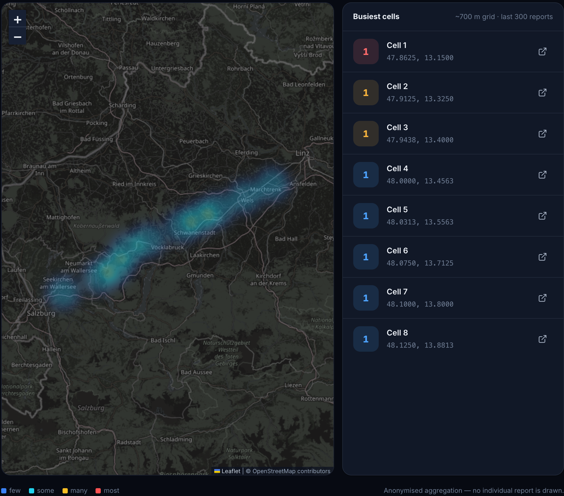
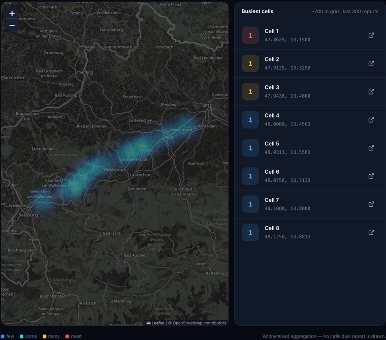
The hotspot view groups reported locations into cells and lists the busiest cells alongside the map.

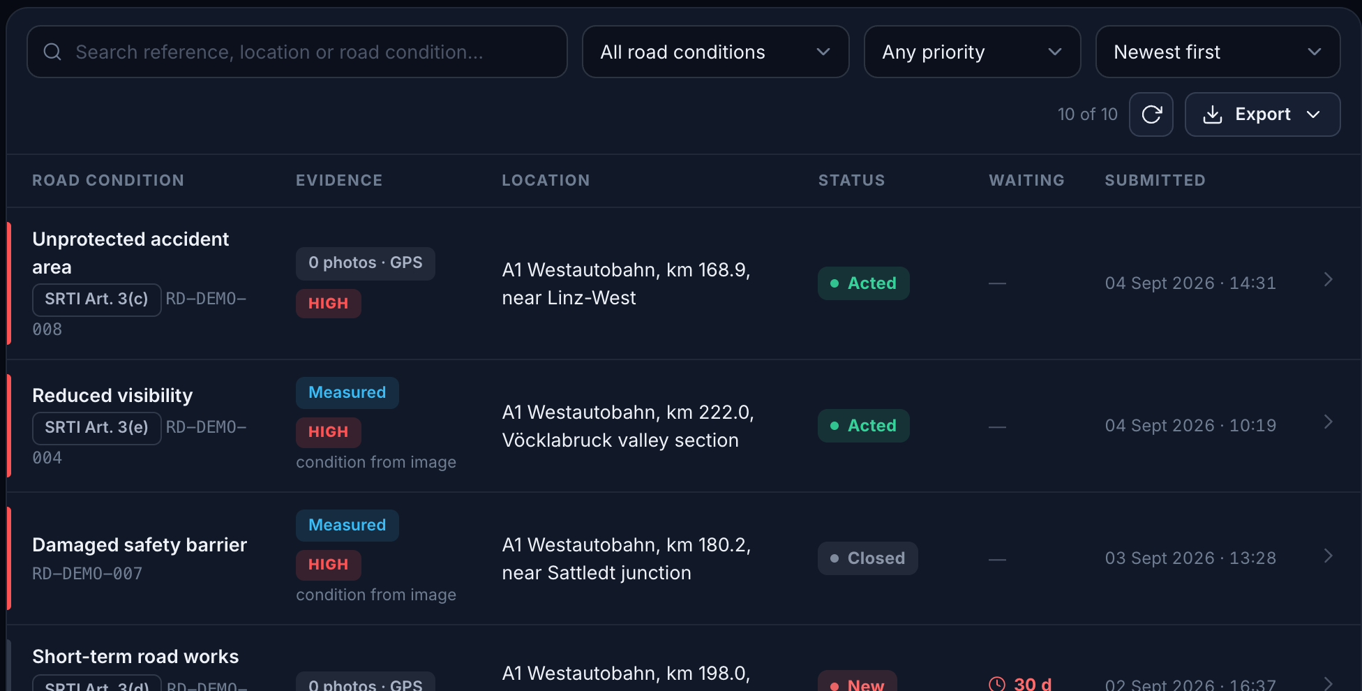
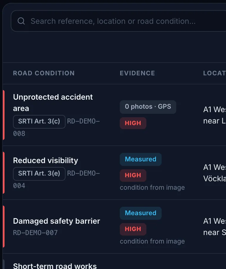
Road operators use a separate list of road hazards. Reports arrive in the authority’s inbox for review and a recorded decision.
Civesto is technically ready and open for pilots. It is not yet in live operation at any public authority, and no pilot has been completed.
The hotspot view groups reported locations into cells and lists the busiest cells alongside the map.
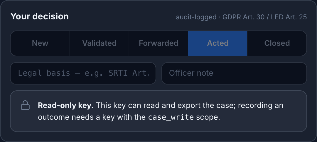
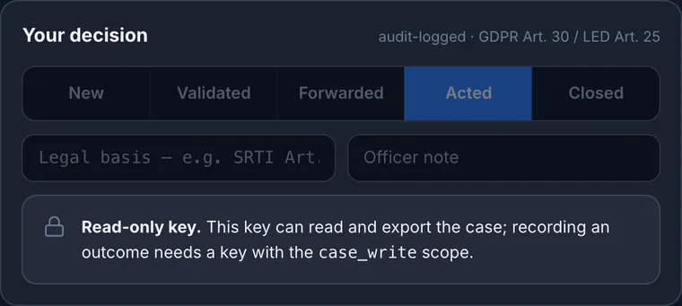
An officer can validate, forward, act on or close a report. The legal basis and the officer’s note are recorded with the case.
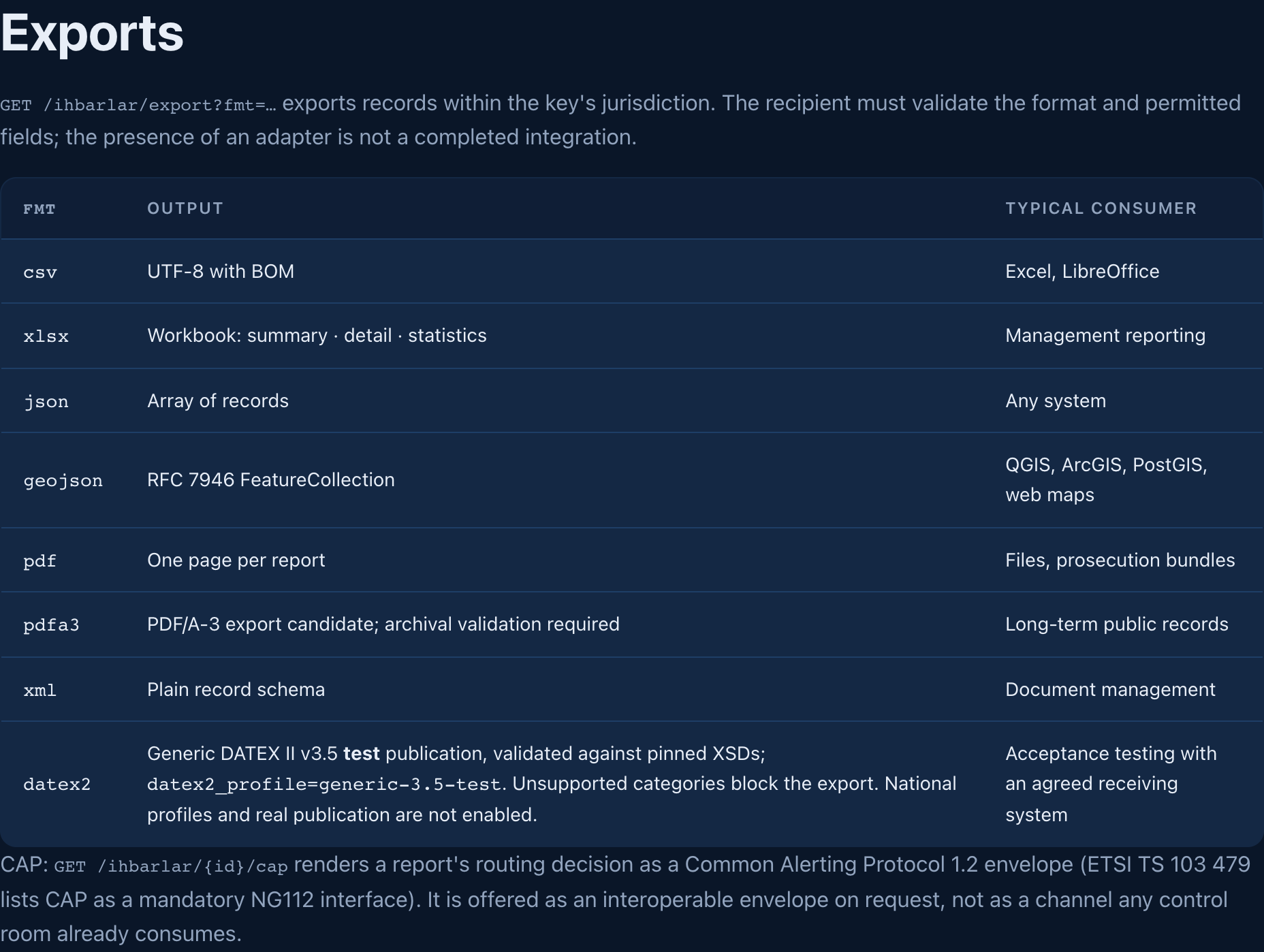
Cases can be exported as DATEX II, GeoJSON, CSV, XLSX or PDF. The system provides a documented REST API and webhooks.